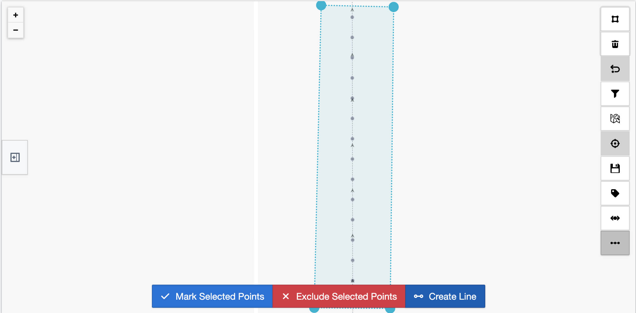
With the updated CivPlan—a preinstalled software that makes data prep and field operation management easy for everyone, you can create precise lines from your mission points on a whim, streamlining your layout process and enhancing project efficiency.

SEAMLESS LINES
Select mission points and create solid, dashed, or custom spaced lines.

CUSTOMIZE YOUR LAYOUTS
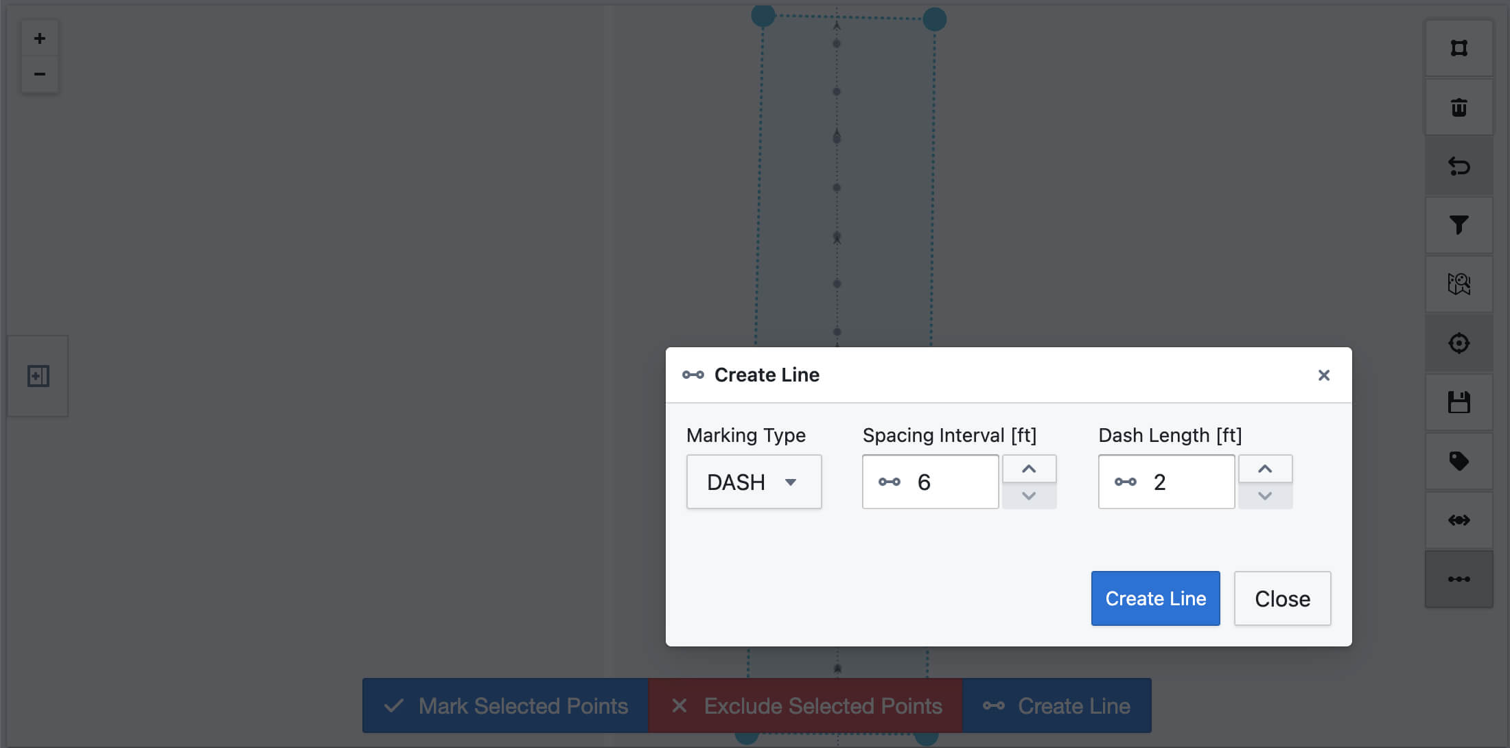
Adjust spacing intervals and dash length to tailor lines to your project needs. Saving time and reducing errors.
Contact Us
Loading form...
