Trenching
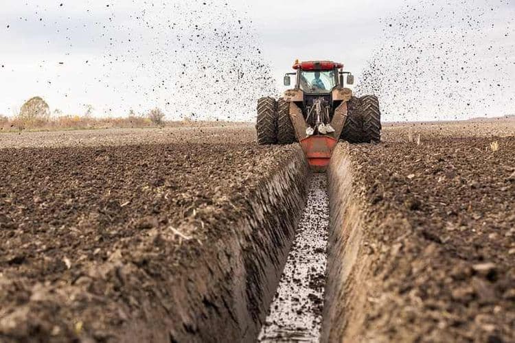
Trenching is the process of digging narrow channels or trenches in the ground for diverse purposes, such as installing underground utilities, laying cables, pipes, or conduits, and creating drainage systems.
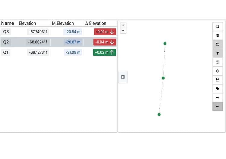
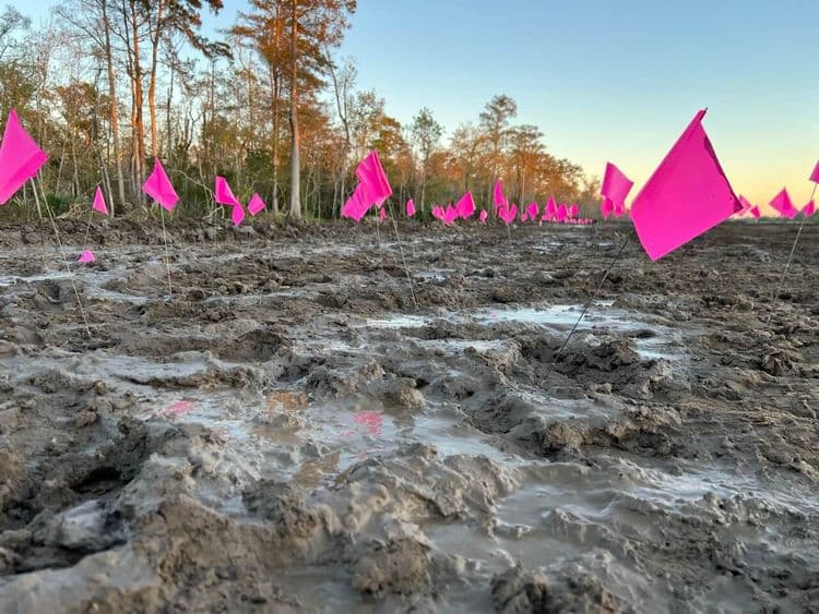
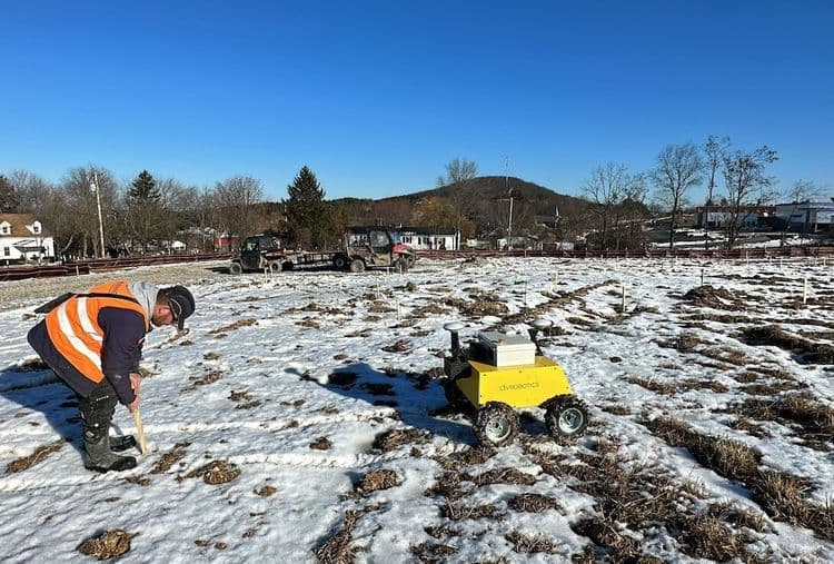
Civ Robotics’ autonomous surveying solution draws trench lines in realscale across various project types, job sites, and challenging environments. It offers a faster, safer, more accurate, and cost-effective solution. It helps measure the ground elevation and guides the field crew on how deep to dig.
TOPO
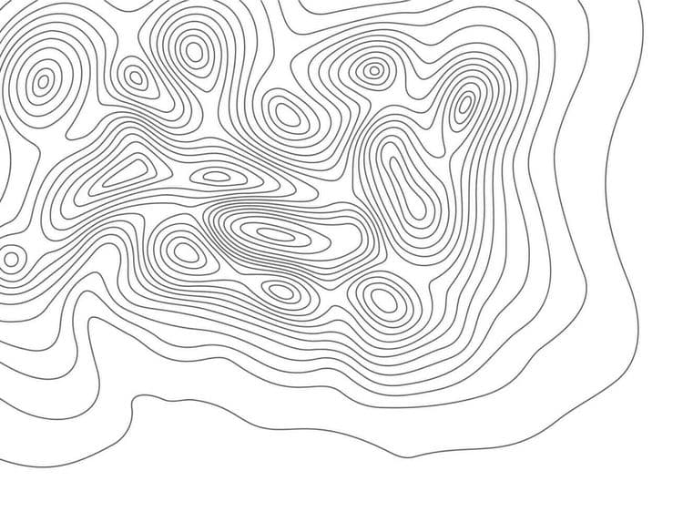
Topo or topographic surveying is the measurement and mapping of the physical features and contours of the land surface. Topo helps provide detailed information about the terrain, such as elevation changes and slopes.
Civ Robots measure the ground elevation at every coordinate they mark. In addition, users can also enable Civ Robots to continuously measure the ground at predefined time and distance while in motion.
Cut & Fill
Cut and fill refers to the process of excavating earth material (cut) from one area of a site and using it to fill (fill) another area to achieve desired grades, slopes, or contours.
Civ Robots help with grade checking using delta elevation feature.
Grade Checking
Grade checking is the process of ensuring the vertical accuracy of the finished surface grades or elevations according to design specifications.
CivDot helps in grade checking with elevation differences.
